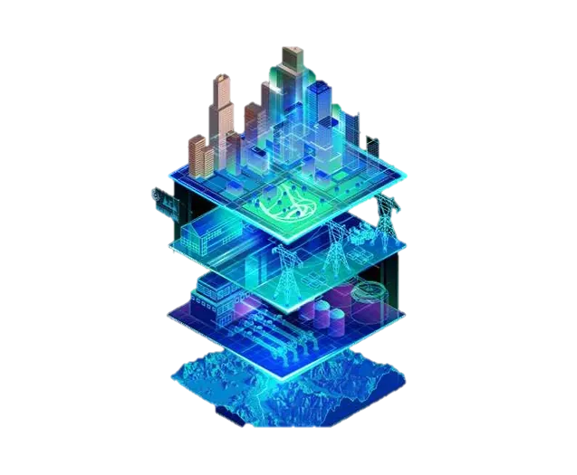
Digital Elevation Models
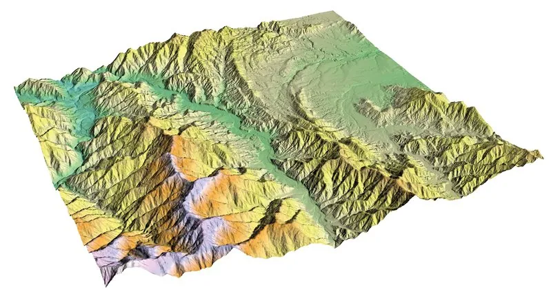
Digital elevation models can be defined, at their core, as digital representations of landforms and their elevations. Used for many different purposes across a wide range of professions and often confused with one another, elevation models can be explained through three main concepts.
- Digital Elevation Model (DEM)
- Digital Terrain Model (DTM)
- Digital Surface Model (DSM)
Digital Elevation Model (DEM)
A DEM represents the Earth's topography in its simplest, bare-earth form, expressing it in three dimensions through X, Y (position) and Z (elevation) values. Digital elevation models are used to digitally represent a topographic surface.
Digital Terrain Model (DTM)
A DTM is a digital representation of the distinctive topographic features of the terrain surface that better captures the true shape of the land. Contour lines generated from a DTM represent the actual shape of the terrain more accurately.
Digital Surface Model (DSM)
Unlike a DTM or DEM, a DSM models the elevation of the surfaces of buildings, trees, towers and other objects. A digital surface model does not include features that break the continuity of the surface, such as abrupt elevation changes, peaks, pits, steep slopes, cliffs or fault scarps.