PRODUCTS
Meeting Your Needs with Our GIS, GPS and IoT Products!
GIS-Based Products
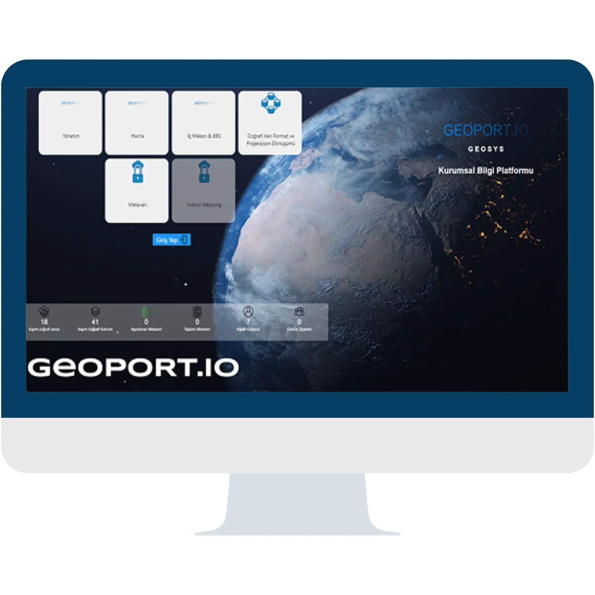
The GEOPORT.IO Enterprise Information Platform is a network-based GEOSYS application that brings together, through its various modules, all institutions and organizations that produce and use spatial and location data on a national scale, and to which they contribute content.

GEOPORT.IO Enterprise Information Platform Applications let you:
- Manage your spatial data,
- Perform map analyses and queries,
- Manage OGC-compliant web services from different institutions,
- Manage layers, metadata, roles and permissions,
- View statistical tables and information.
Spatial Management Application
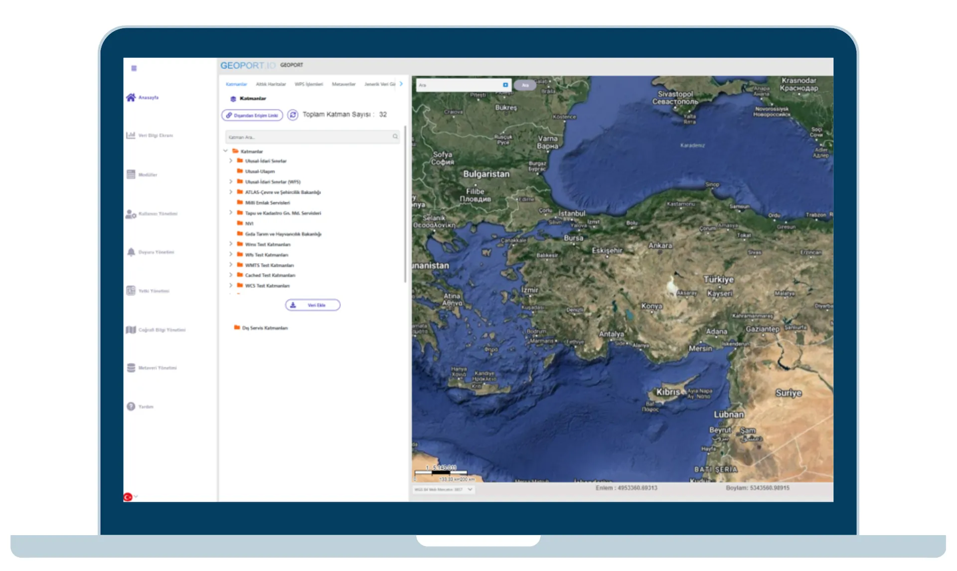
The Management Application is where you view layers, query and manage spatial information, enter data, use classic map measurement and drawing tools, and view statistical information.
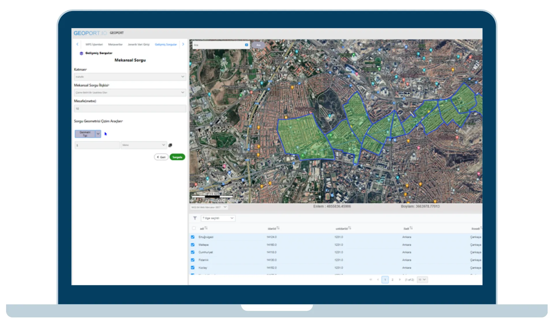
With GEOPORT.IO Enterprise Information Platform Applications, you can:
- Enter geographic data through the Management Application,
- Manage your data and layers from the layer panel,
- Add external services by uploading files (KML, KMZ or Shapefile) or adding a URL,
- Manage your base maps,
- Create users and edit existing user details,
- Define user permissions and roles.
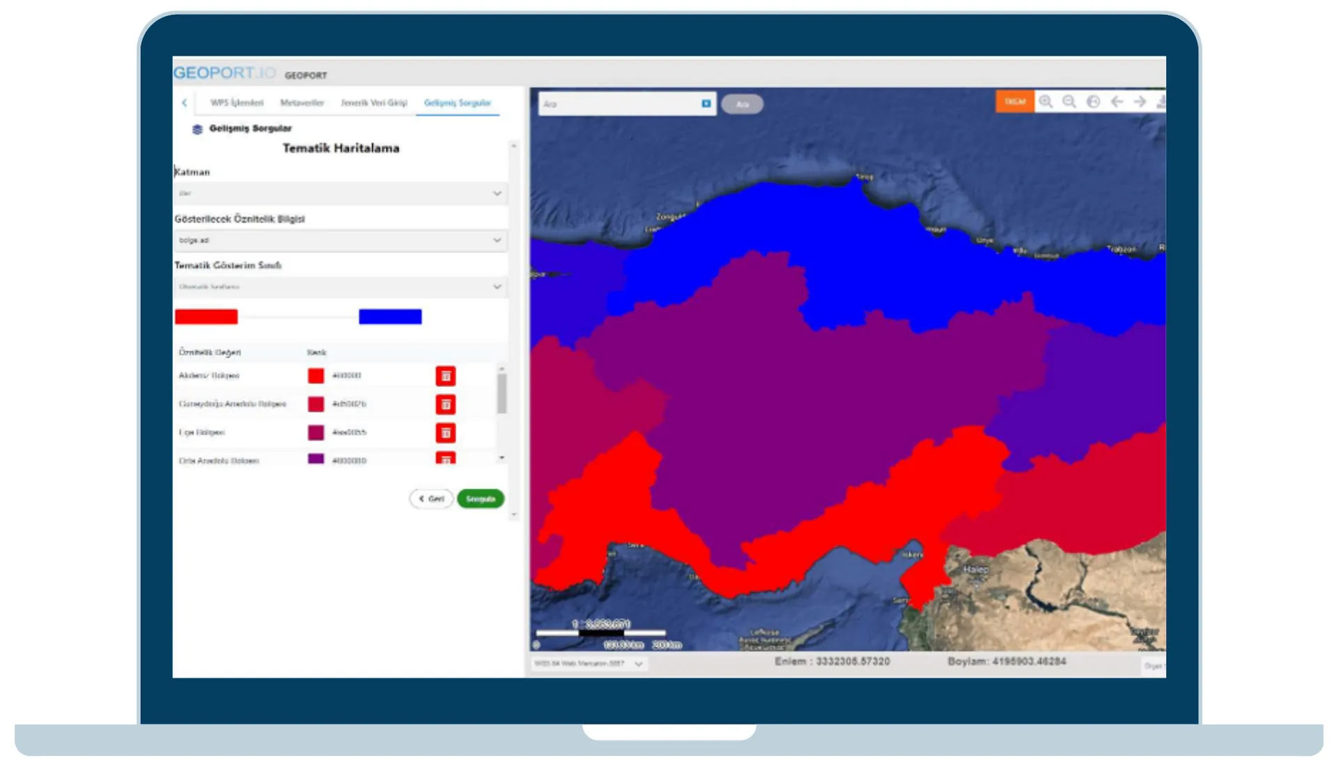
Built to manage spatial data, the Management Application goes beyond standard queries: its «Advanced Query» capabilities let you run queries across different operations and based on one or more conditions.
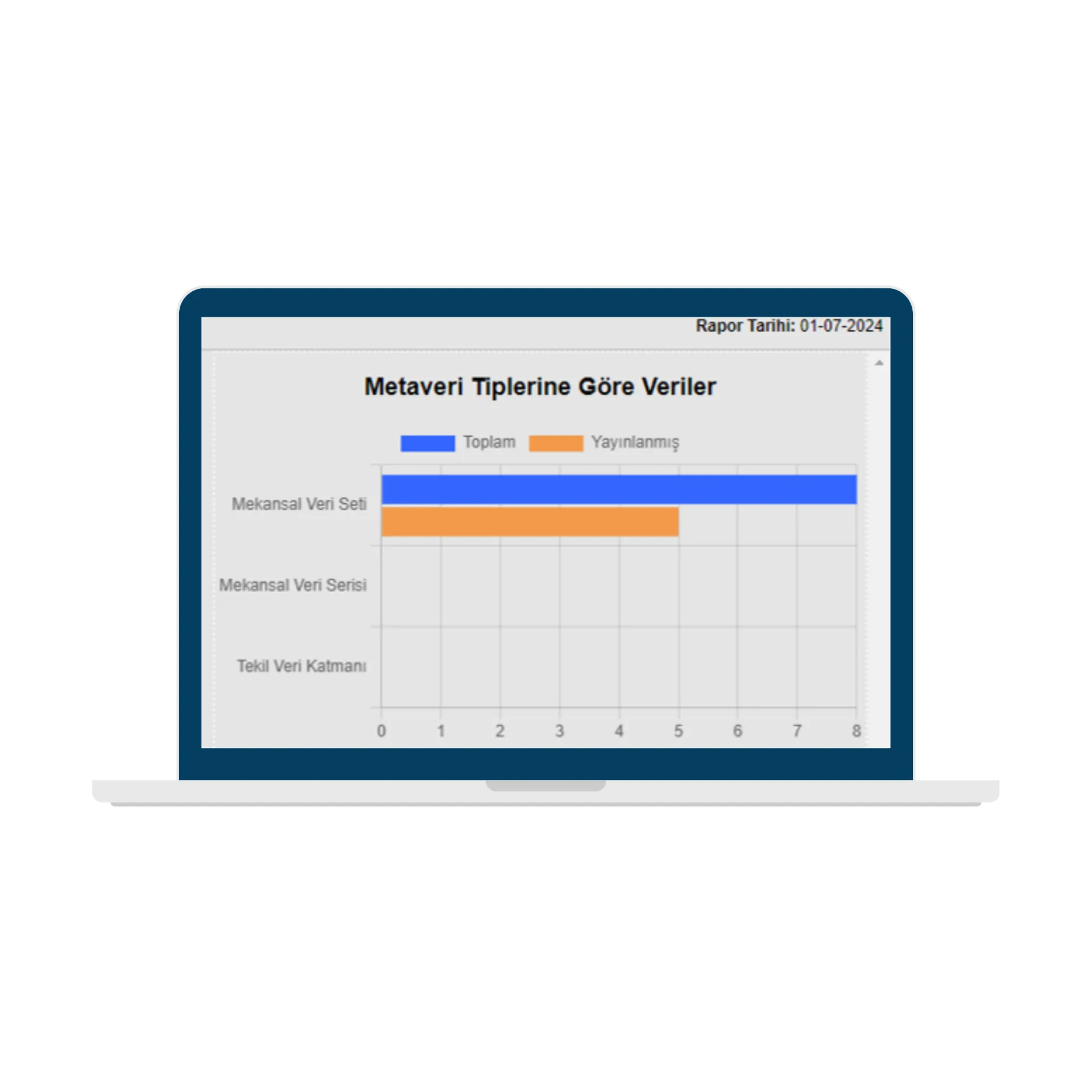
Metadata Application
With the Metadata Application, you can manage your metadata and view metadata information as statistics and charts.
Metadata Application Menus:
- Metadata List
- Metadata Catalog List
- Metadata Language List
- Metadata Access Constraints/Conditions List
- Metadata Category List
- Metadata Keyword Theme List
- Metadata Keyword List
- Metadata Organization Role List
- Harvest List
Digital Twin Application
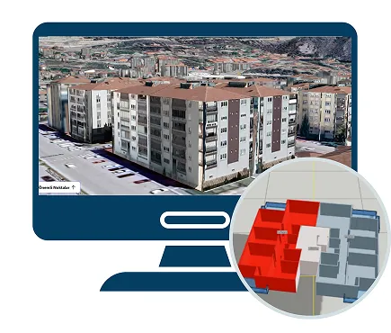
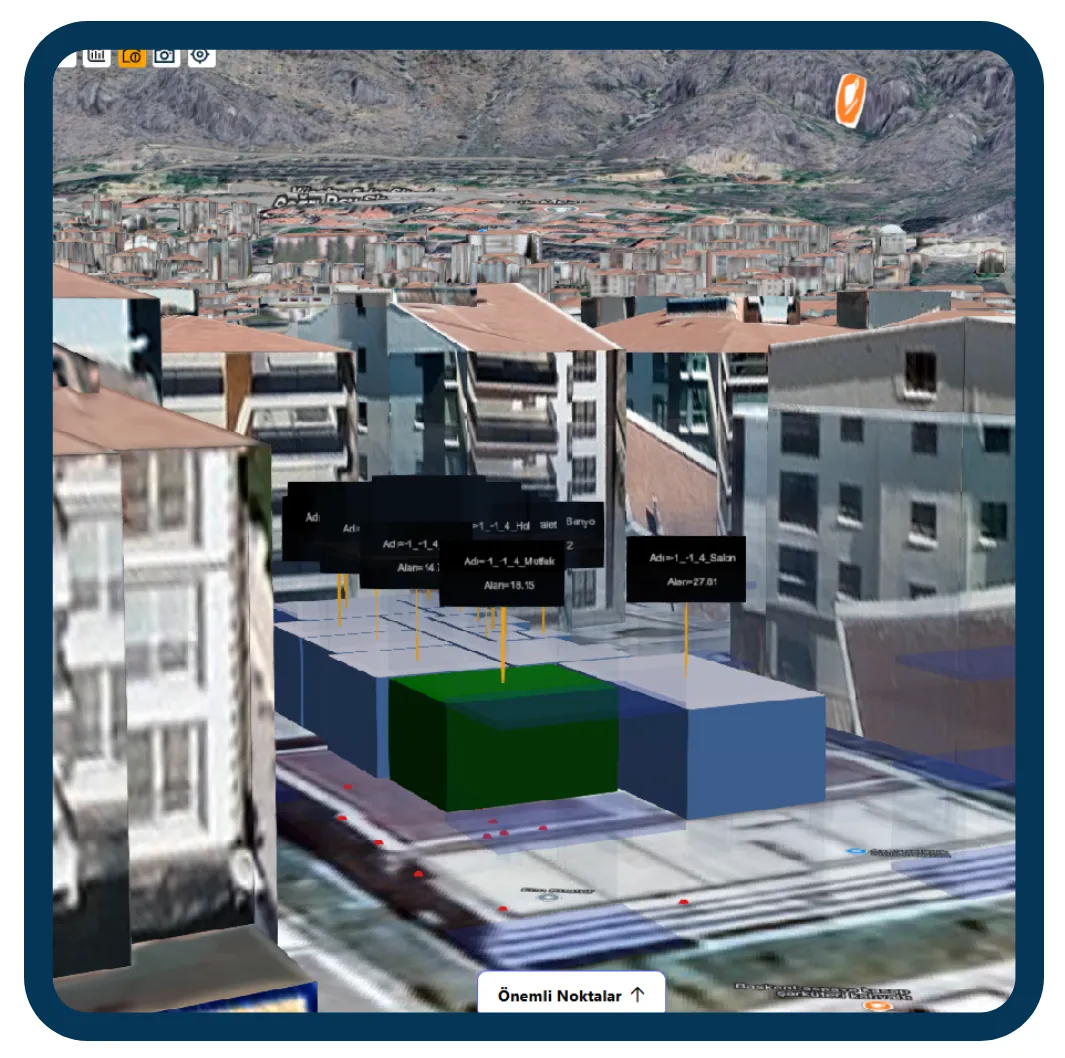
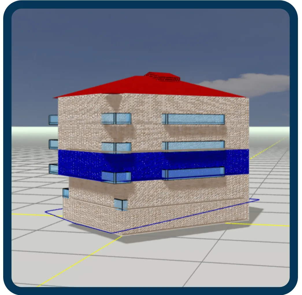
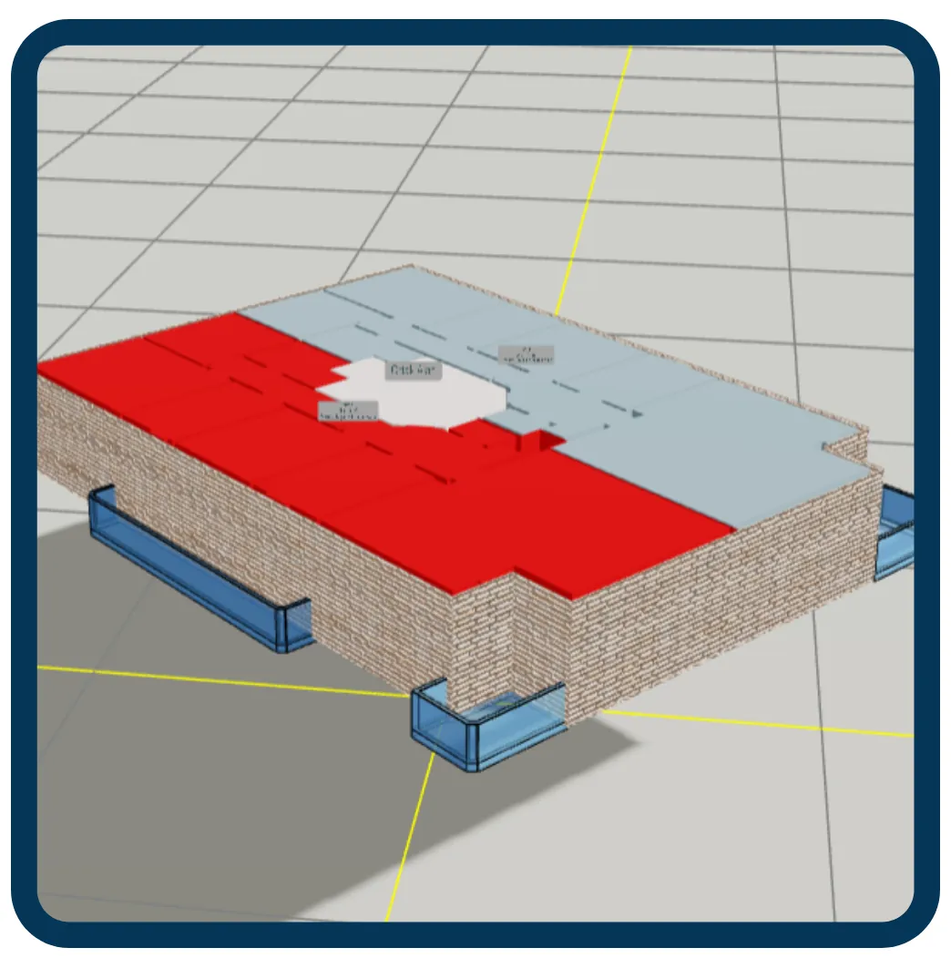
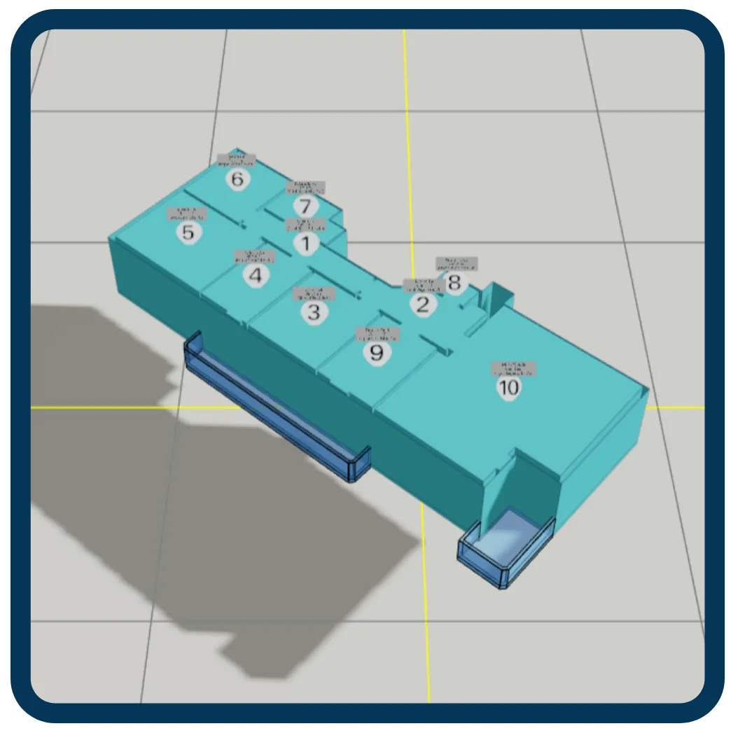
The Digital Twin Application is a geospatial presentation application for managing 3D photogrammetric and architectural building models. Its range of tools lets you manage your spatial data; view 3D building models and, through indoor visualization, independent units and their sections; perform map analyses and queries; display WFS and/or WMS services from different institutions; manage layers and base map data; and view statistical tables and information.
3D Tiles Architecture

OGC Standards
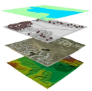
Base Map Data
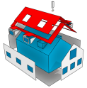
TKGM CityGML LOD Levels
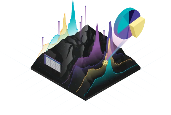
Manage your decision-making processes by running a variety of analyses with Digital Twin Application solutions.
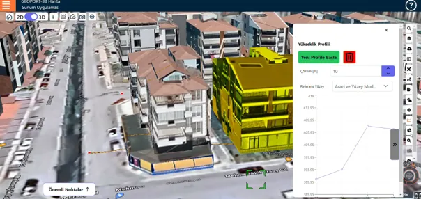
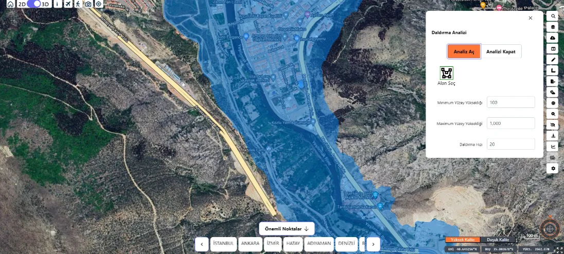
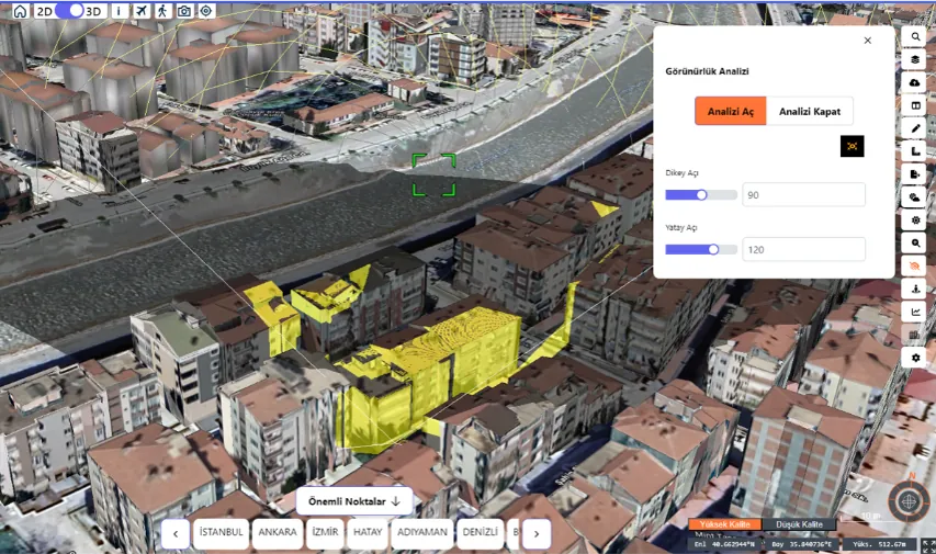
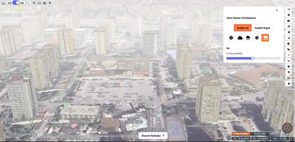
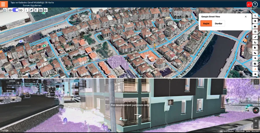
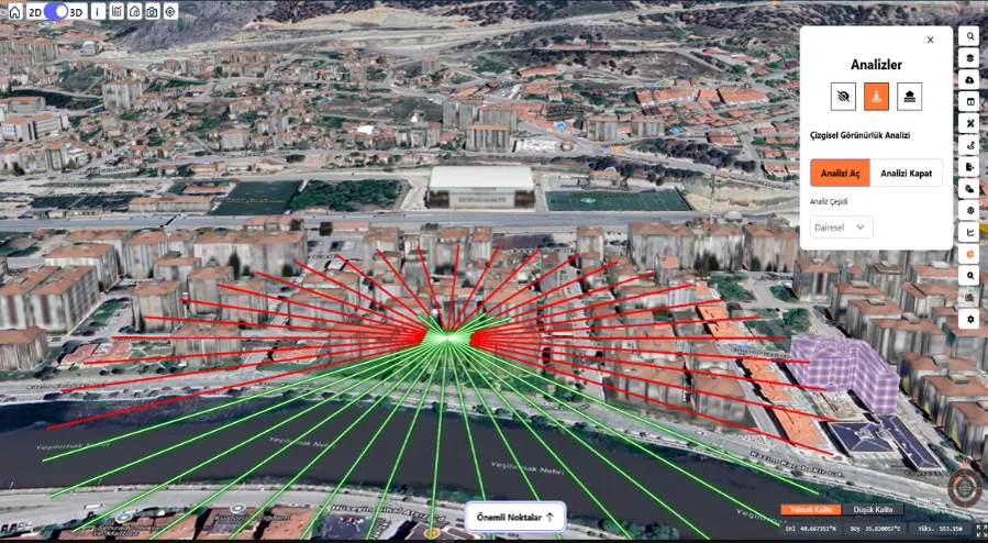
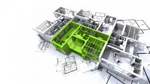
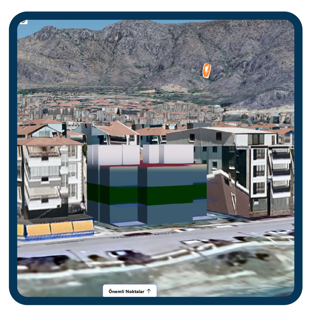
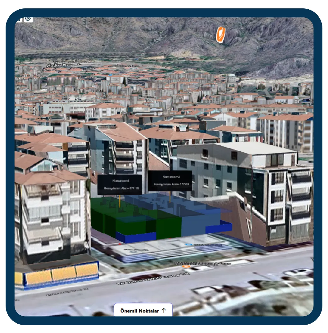
The Digital Twin Application lets you view and manage 3D building models and indoor visuals together with their attribute information.
- 3D Building Models
- Independent Units
- Independent Unit Sections
Independent Unit and Indoor Views
GPS-Based Products
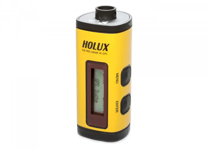
HOLUX M-241 Data Logger
With real-time coordinate logging and easy operation, the HOLUX M-241 wireless GPS data logger is an effective travel companion.
VIEW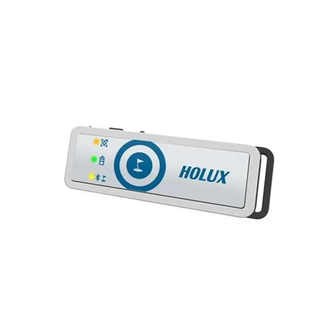
HOLUX M-1200E Data Logger
With geotagged photo logging, the HOLUX M-1200E offers practical features such as creating personal albums and marking points of interest (POI).
VIEWIoT Products