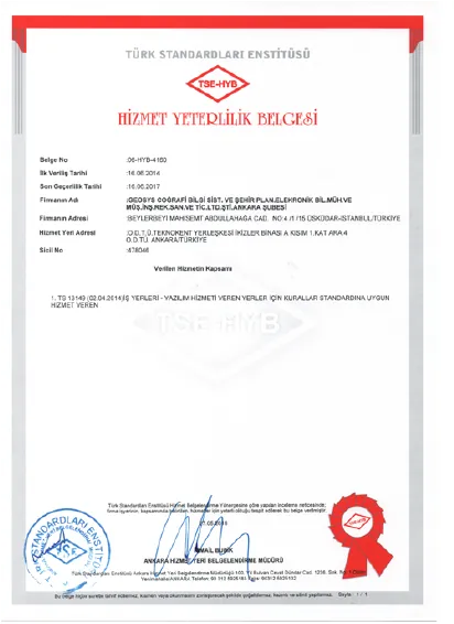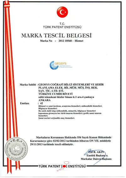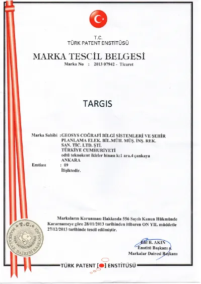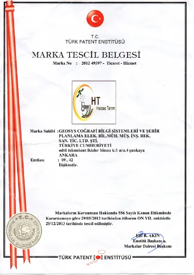
Fairness
We treat our customers, business partners and employees equally and fairly.

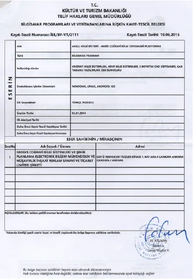
At GEOSYS, we continue to make a difference with customizable GIS solutions, delivering effective spatial solutions built on accurate, reliable, high-quality data and software!
Since 2002, GEOSYS Coğrafi Bilgi Sistemleri ve Danışmanlık Hizmetleri AŞ has delivered web-based urban and environmental projects to a range of sectors, public institutions first and foremost. The company develops product integrations and mobile systems on 2D and 3D maps and delivers pioneering solutions that make the most effective use of spatial data.

To be a leading technology company that develops innovative solutions in geographic information systems and digital technologies, delivering customer-focused, sustainable and effective spatial solutions integrated with smart city, IoT and digital twin technologies.
To support sustainable and effective decision-making by providing the public and private sectors with high-quality, reliable and data-driven geographic information systems solutions, through smart city projects, digital twin models and IoT-based applications. Our foremost goal is to harness technology and innovation to take spatial data analytics to the highest level and develop solutions that shape the future.
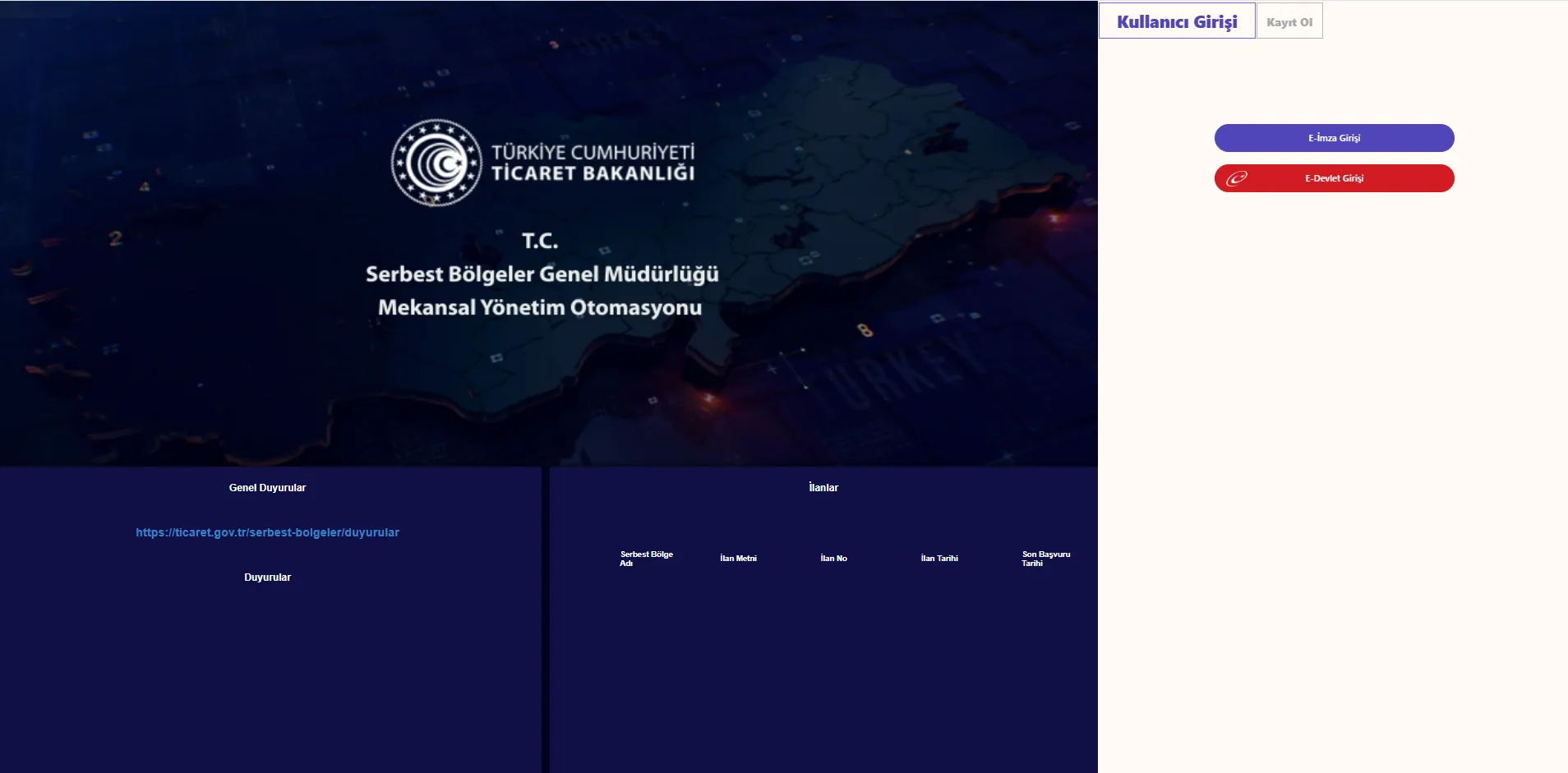
The Free Zones ATLAS (SEB-ATLAS) Spatial Management System Project, developed by our company under the direction of TÜRKSAT A.Ş. to meet the needs of the General Directorate of Free Zones of the Ministry of Trade of the Republic of Türkiye.
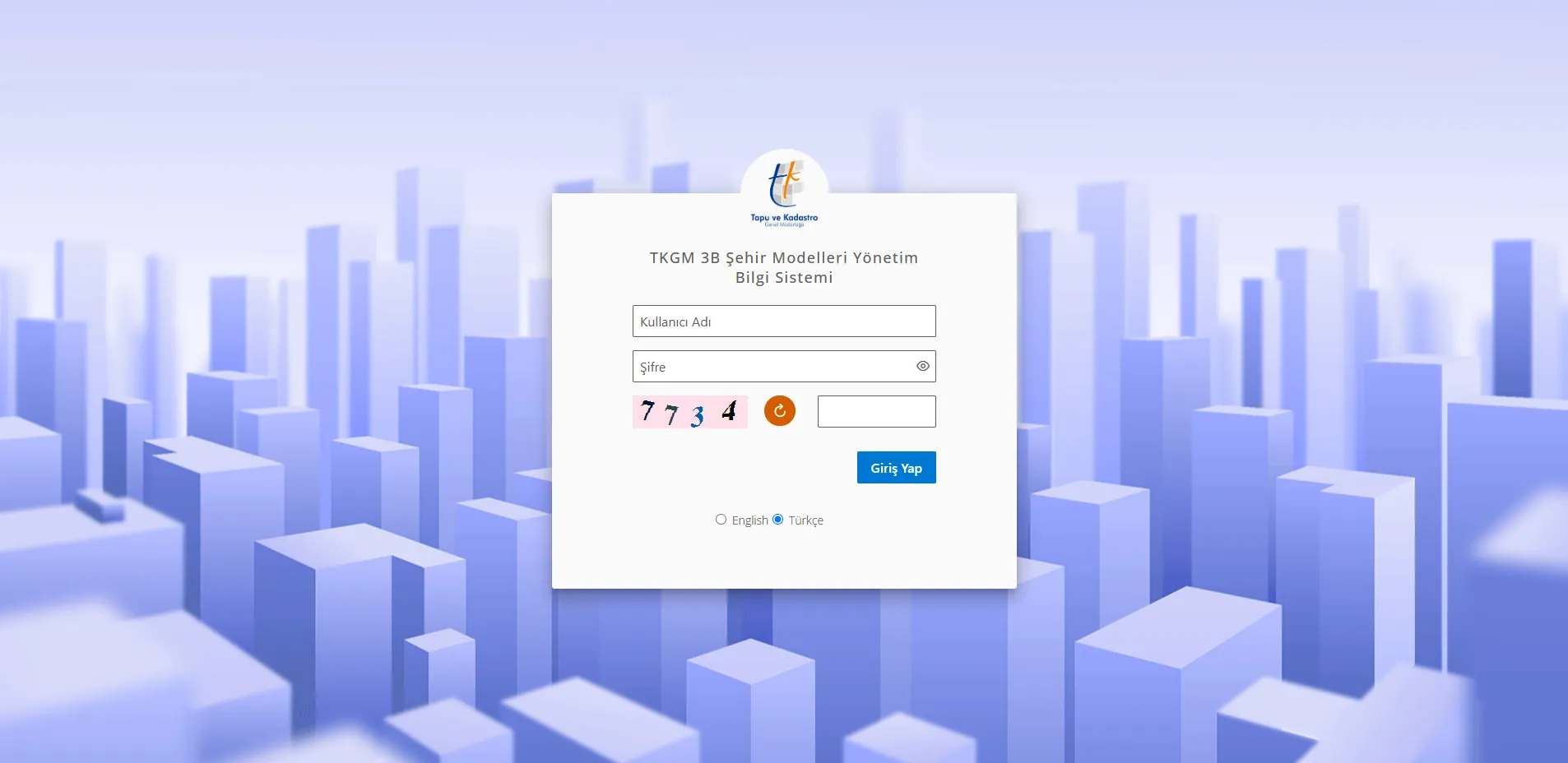
The 3D City Models Management Information System Project, developed by our company as part of the 3D City Models Production and 3D Cadastral Base Map Creation program of the General Directorate of Land Registry and Cadastre (TKGM), Ministry of Environment, Urbanization and Climate Change of the Republic of Türkiye.
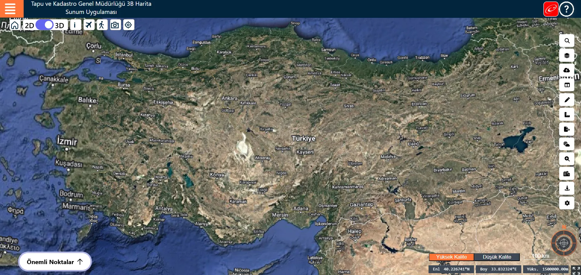
The 3D Map Presentation Application Project, developed by our company for presenting 3D City Models for the General Directorate of Land Registry and Cadastre (TKGM), Ministry of Environment, Urbanization and Climate Change of the Republic of Türkiye.
We treat our customers, business partners and employees equally and fairly.
We work diligently to understand our customers' needs and deliver the best possible service.

Guided by environmental and social responsibility, we develop long-term, effective solutions.
We share clear, accessible and accurate information across all our business processes.
We harness technology and innovation to deliver continuously evolving, pioneering solutions.

We stand by our customers by delivering accurate, reliable, high-quality service.
 Ministry of Environment, Urbanization and Climate Change of the Republic of Türkiye
 General Directorate of Land Registry and Cadastre (TKGM)
 Ministry of Energy and Natural Resources of the Republic of Türkiye
 Ministry of Agriculture and Forestry of the Republic of Türkiye
 ENERJİSA
 ASELSAN
 TÜRKSAT
 Ministry of Trade of the Republic of Türkiye