
SOLUTIONS
Let's Shape Technology Together with GEOSYS BİLİŞİM SİSTEMLERİ AŞ Solutions!
Smart City Management
Our Smart City Information Systems software is a comprehensive suite of Smart City Information Systems services that GEOSYS has been continuously developing since 2007, building on its expertise and extensive experience in Geographic Information Systems.
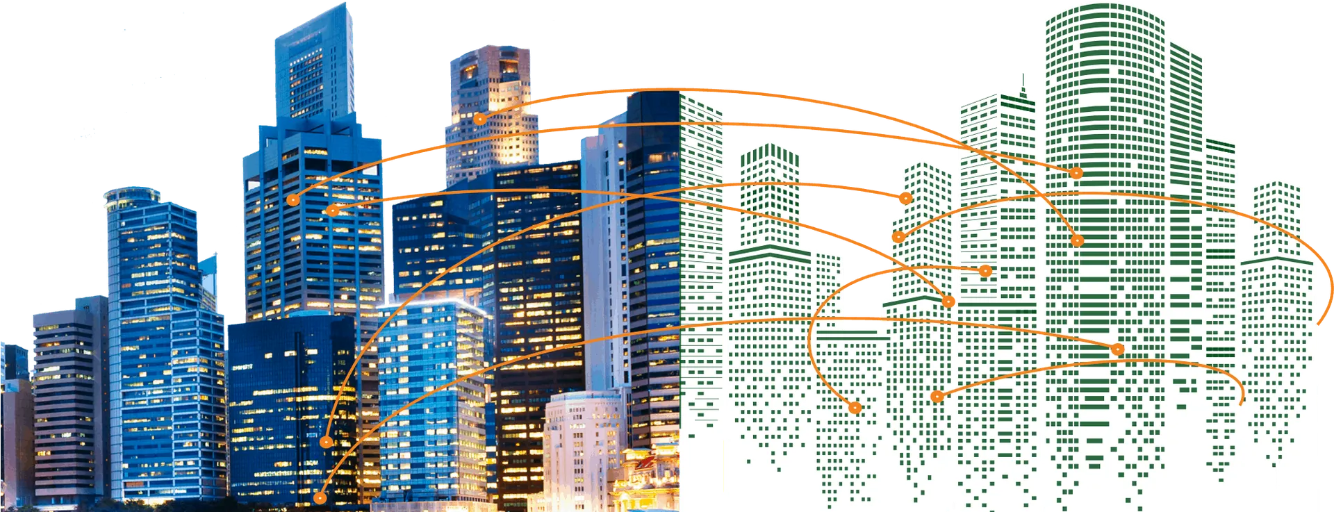
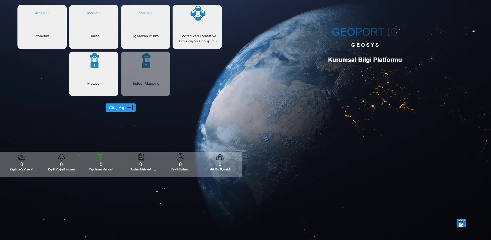
With GEOSYS solutions, you can:
- Manage your spatial data,
- Perform map analyses and queries,
- Manage OGC-compliant web services from different institutions,
- Manage layers, metadata, roles and permissions,
- View statistical tables and information.
2D & 3D Web-Based GIS Applications
Smart City SystemsAsset Tracking SystemsInfrastructure Information Systems
2D & 3D Mobile Applications
Vehicle Tracking SystemMobile Data Collection ApplicationsField Management SystemReal Estate Tracking System
GIS Server
OGC Standards(WMS-WFS-WMTS-WCS)National Spatial Data Infrastructure (TUCBS)Scalable InfrastructureAuthorization and Data Security
Management Applications
Geographic Data PortalReal Estate Management SystemDocument and Archive Management SystemClimate Change and Zero Waste Management System
Digital Twin Technology
Our Digital Twin software is a comprehensive set of solutions and services for visualizing 3D data models and managing analysis and simulation workflows, built on GEOSYS's expertise and extensive experience, particularly in advanced tiling architectures.
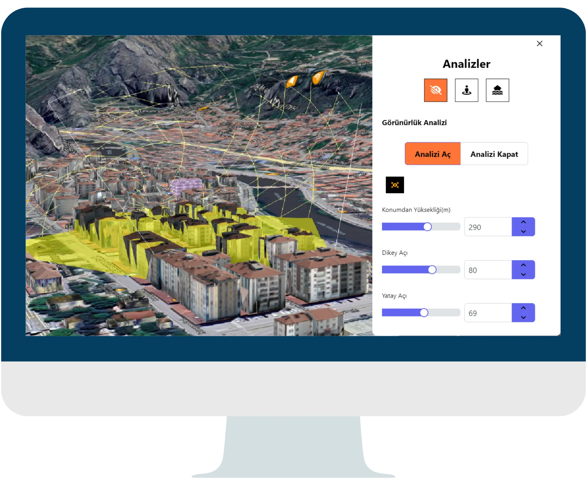
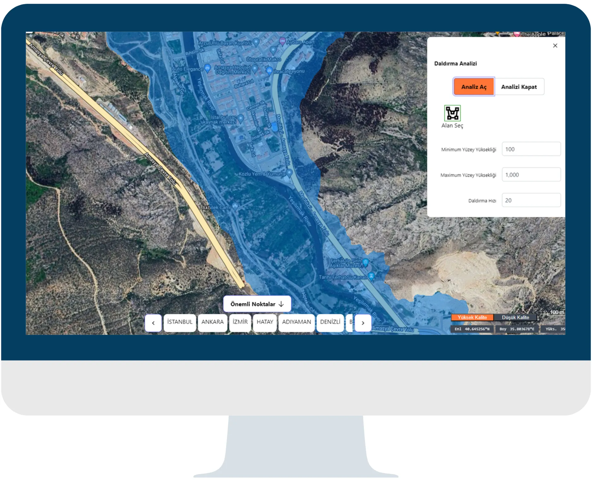
With Digital Twin Applications, you can perform:
- Visibility analyses,
- Shadow and/or sunlight analyses,
- Flood inundation analyses,
- Elevation profile generation and elevation analyses.
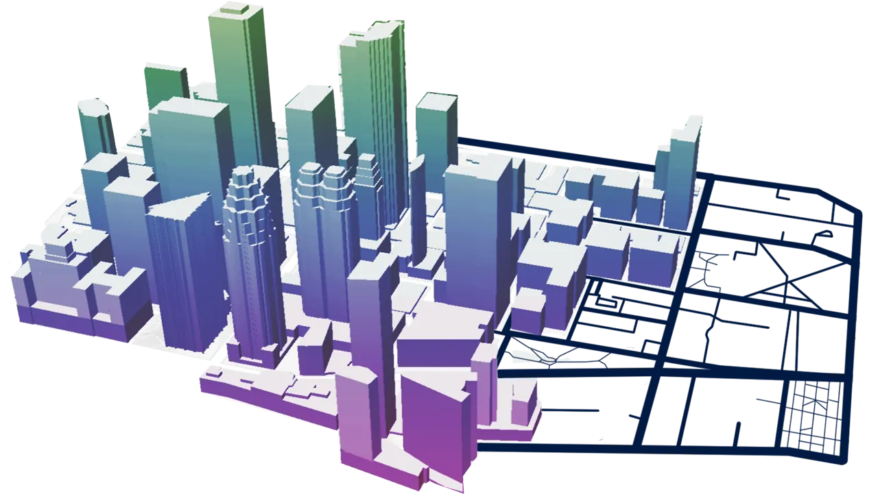
On 3D city models, you can:
- Create 3D massing models with classic map tools and visualize your development plans.
- Produce visual reports and analyses using attribute queries and thematic display capabilities.
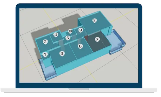
GEOSYS Tile solutions split data into tiles by zoom level, generating a defined number of tiles at each level to deliver high-quality, high-speed visualization and management.
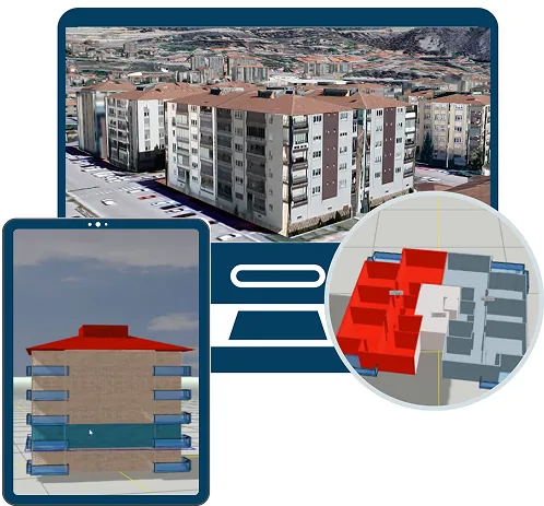
With Digital Twin Applications powered by a tile architecture, you can:
- View 3D building models,
- Use indoor capabilities to view independent units, their sections and floor areas, and their intended uses.
IoT Technology
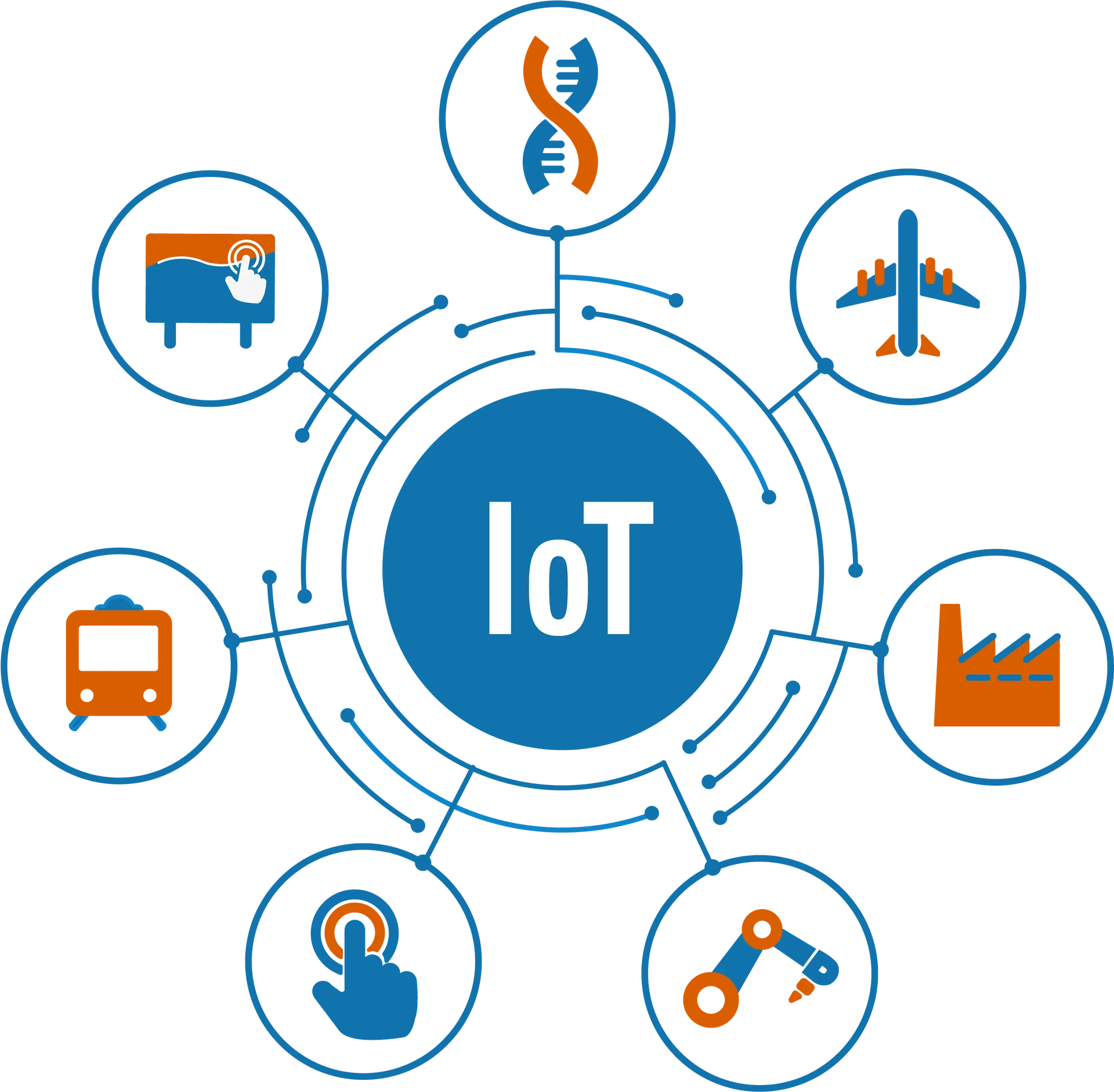
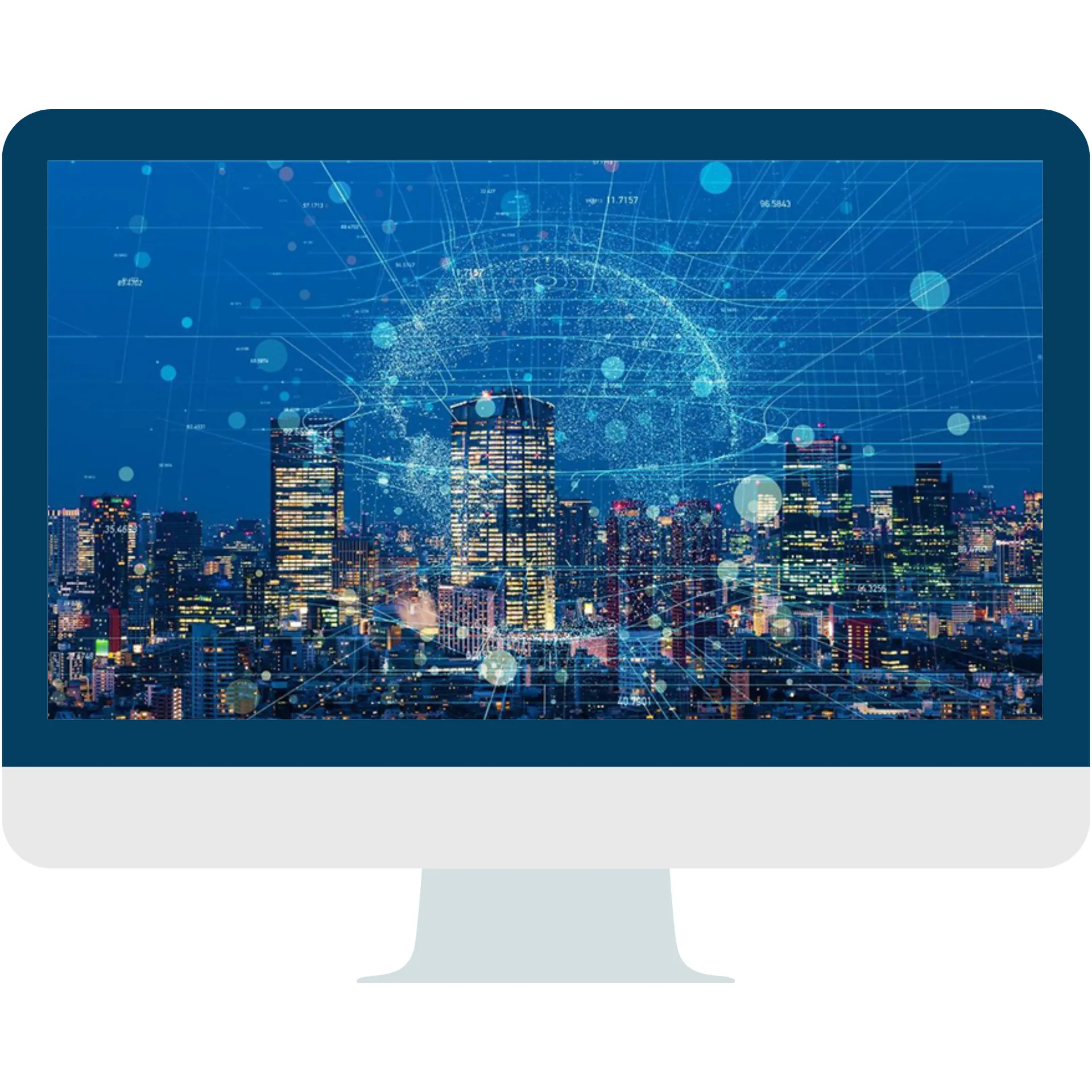
With GEOSYS solutions, GIS-based applications and systems integrated with IoT sensors and big data analytics help cities be managed more intelligently.
With IoT Technology:
- Data is processed on cloud-based IoT management platforms, and big data from IoT devices is used for predictive analytics.
- Processes are monitored in real time through sensors and optimized accordingly.
- IoT sensors integrated into BIM models analyze indoor data such as temperature, air quality and energy consumption.